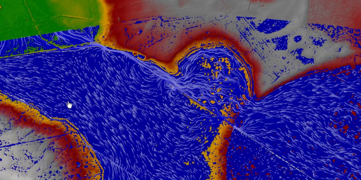
Cherrydale Lake is a lake and dam retrofit project that is part of Hanover County’s MS4 and TMDL compliance plan. Improvements include pollution filtration, dam upgrades, construction of wetland benches and forebays, dredging, and pond aeration. GIS was applied to process LIDAR and survey data as well as expedite both hydrologic and hydraulic modeling. These geospatial tools were instrumental in determining dam spillway capacity, dam breach limits, and watershed pollutant loads.
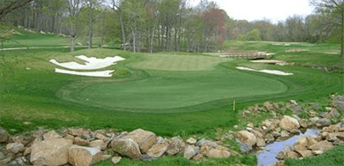
Rock Manor Golf Course Renovation
Watershed Consulting served as engineer of record for an 18-hole renovation. Working alongside George Golf Design and the New Castle Conservation...