GIS and Spatial Analysis

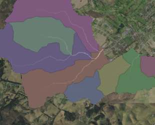
Watershed Consulting leverages the power and efficiency of GIS in all its projects. GIS enables us to rapidly characterize land use and other watershed features while increasing the precision and accuracy of our hydrologic-hydraulic analyses.
- Watershed-scale Hydrologic Analysis
- Large-scale Land Use Characterization
- Rapid Curve Number Development
- Watershed-scale Pollutant Loading
- Hydrologic-Hydraulic Model Visualization


